Boundary Field Support
Field support for boundary work, provided for and under the direction of a licensed Professional Land Surveyor.
For licensed surveyorsPlease note: Rose Construction Mapping LLC is not a licensed land-surveying firm. Work constituting professional land surveying is performed only within a legally qualifying relationship under the direction and responsible charge of a licensed Professional Land Surveyor (PLS).
Data Acquisition & Processing
Field data collection, aerial mapping, construction layout support, and CAD drafting for licensed surveyors, contractors, and developers.
Based in Ogden, Utah · Serving a 300-mile radius
Our Services
Accurate field data, clean processing, and organized deliverables - tailored to your project.
Field support for boundary work, provided for and under the direction of a licensed Professional Land Surveyor.
For licensed surveyorsTopographic data collection and mapping support for design and construction teams.
Field data & mappingDetailed mapping of existing site conditions, features, and utilities.
Existing conditionsDrone photogrammetry and aerial mapping for accurate, efficient site data capture.
Photogrammetry & mappingLayout and staking support with data field teams can use.
Layout & grade controlClean CAD drafting and deliverables to your company standards.
AutoCAD & Civil 3DProfessional documents requiring licensure are reviewed and issued by the responsible licensed Professional Land Surveyor (PLS) when required. Ask us about file formats and insurance for your project.
Equipment
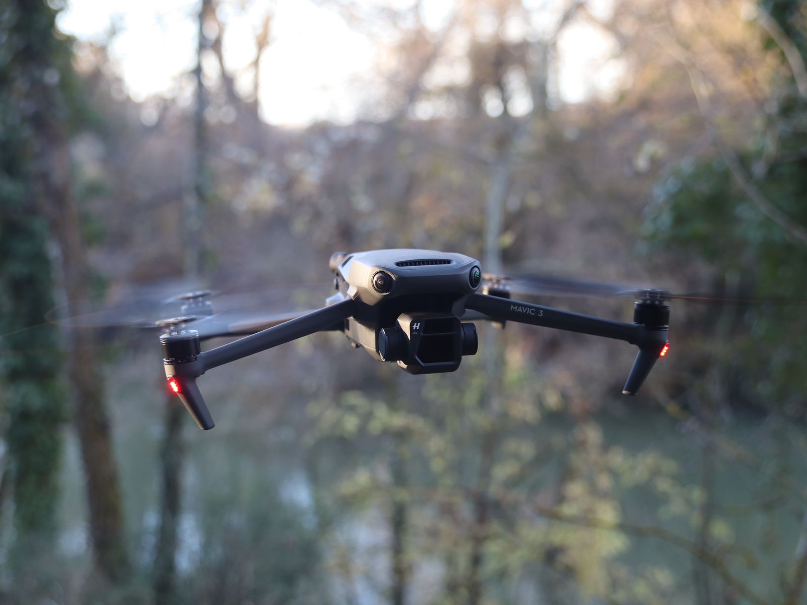
Our base and rover setup is powered by CHCNAV, paired with RTK aerial mapping and total station support matched to project scope.
Capabilities
Aerial Data Acquisition
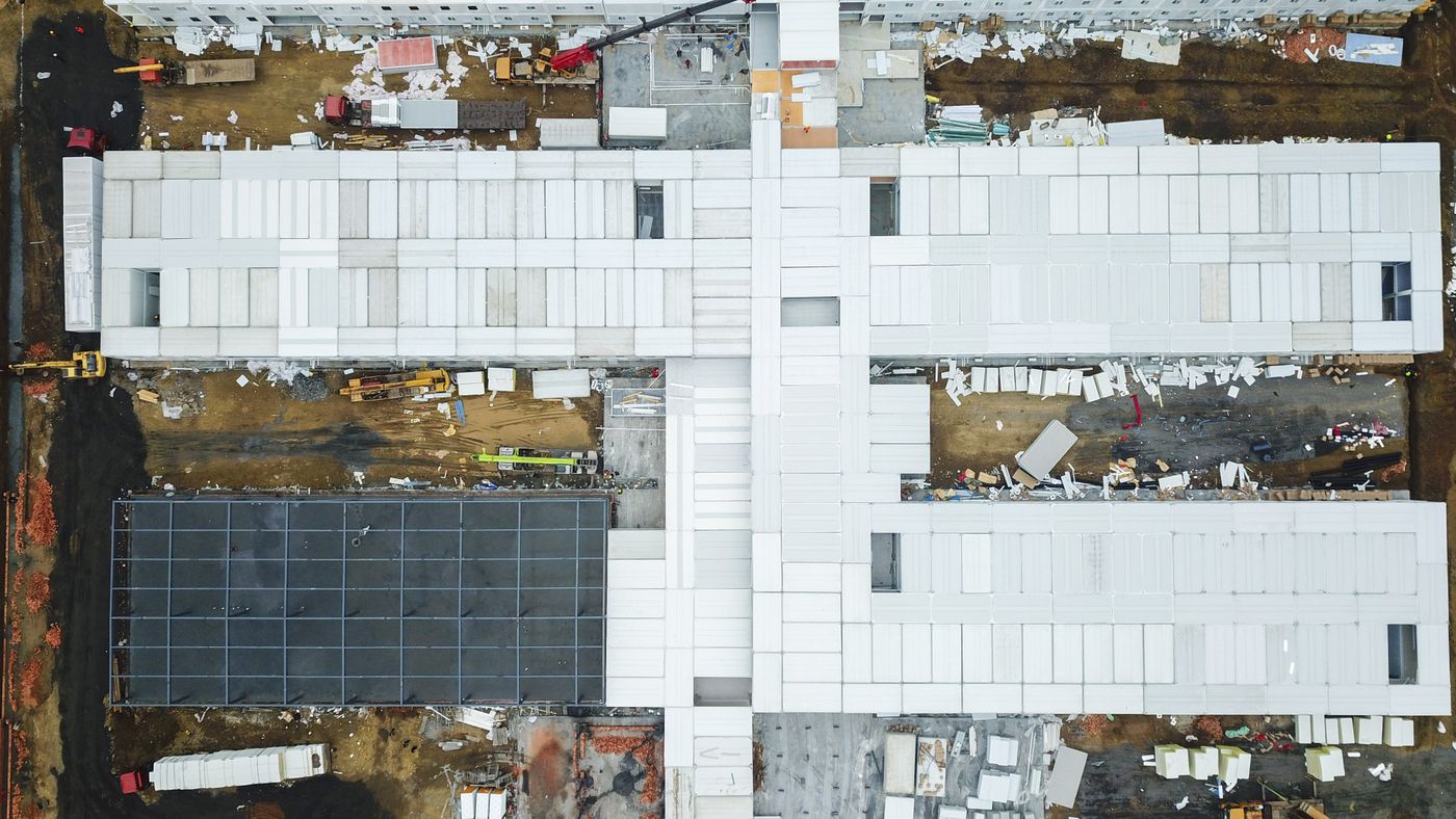
Drone photogrammetry for a large construction site.
Construction Layout Support
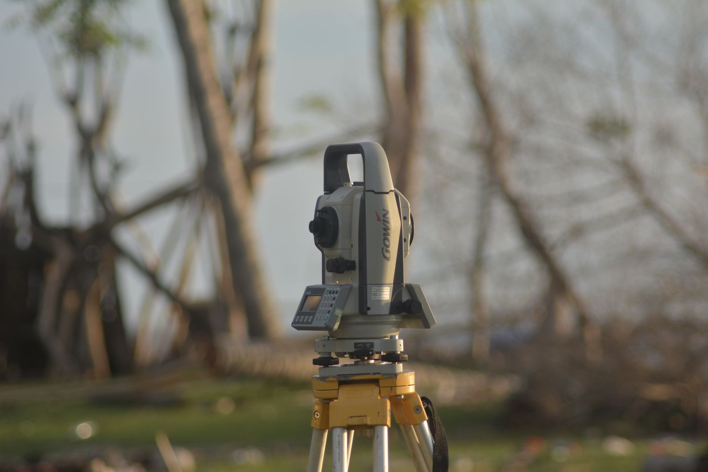
Layout and grade control for an active build.
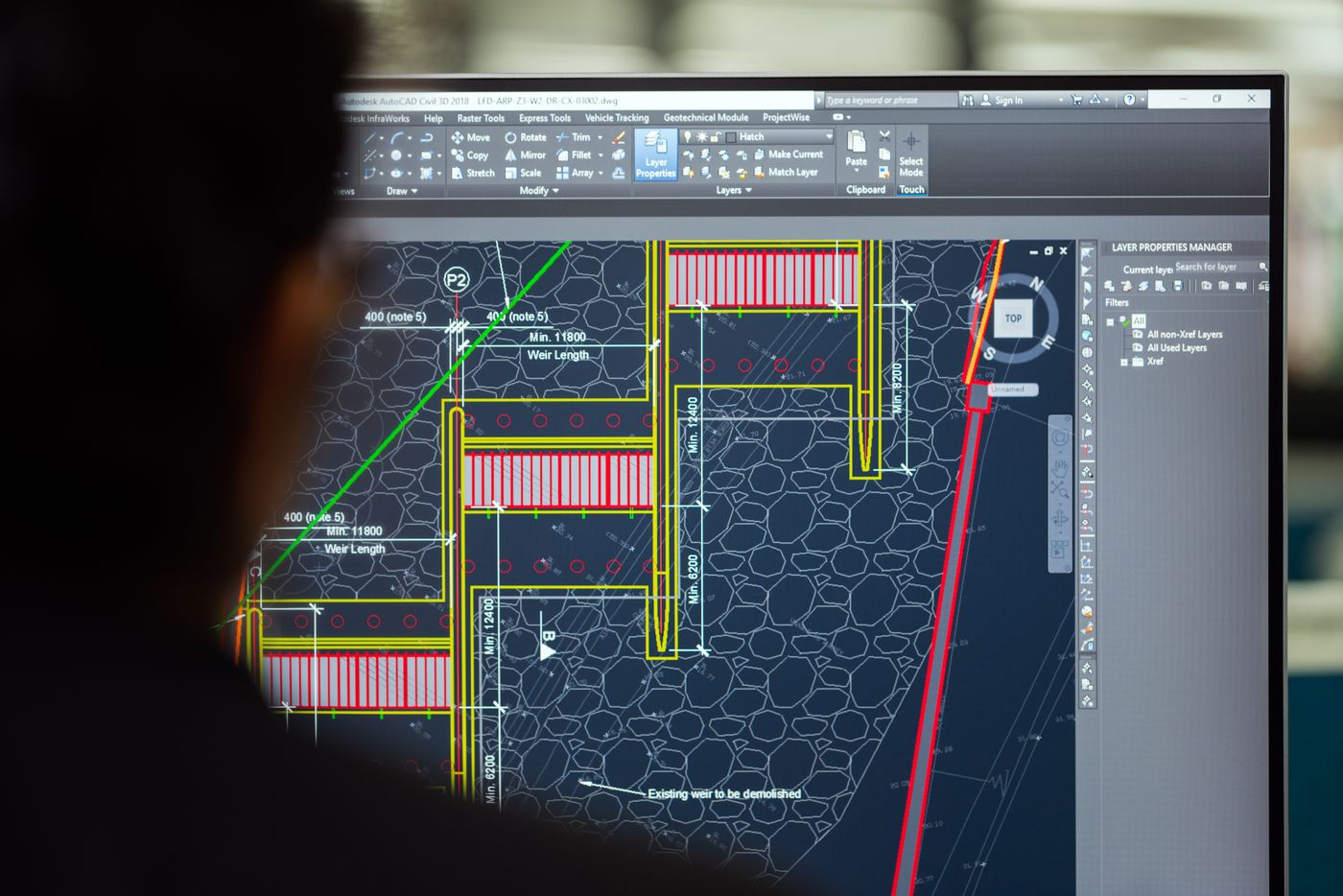
CAD & Digital Deliverables
Clean, standards-based drawings produced from field data.
Our Process
Tell us the scope, location, and deliverables. We respond within 24 hours.
We capture accurate field data using drone, GPS, and conventional tools.
We process, draft, and deliver clean files in your required formats.
Request a Quote
We'll respond within 24 hours with a clear quote.
Get in Touch
Call, email, or request a quote. We respond within 24 hours.
Rose Construction Mapping LLC is not a licensed land-surveying firm. Professional land surveying is performed only under the direction and responsible charge of a licensed Professional Land Surveyor (PLS).
Service Area
Serving the Wasatch Front, southern Idaho, western Wyoming, eastern Nevada, and western Colorado.
Not sure if your project is in range? Send us the location and we'll confirm.